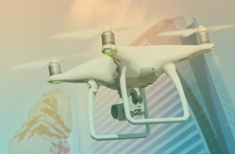
10ⁿ Tech provides turnkey UAS integration projects using proprietary mission planning software, as well as a full stack of software and hardware from global vendors, training services, and support. Command Centers for drone operations are another area of expertise for 10ⁿ Tech, such centers are used for centralized drone operation management.
10ⁿ Tech provides turnkey UAS integration projects using proprietary mission planning software, as well as a full stack of software and hardware from global vendors, training services, and support. Command Centers for drone operations are another area of expertise for 10ⁿ Tech, such centers are used for centralized drone operation management.
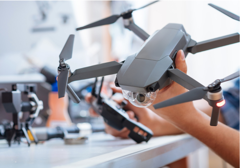
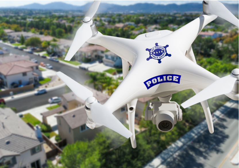
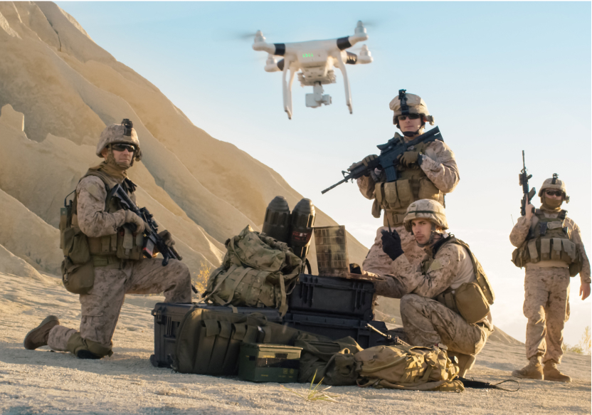
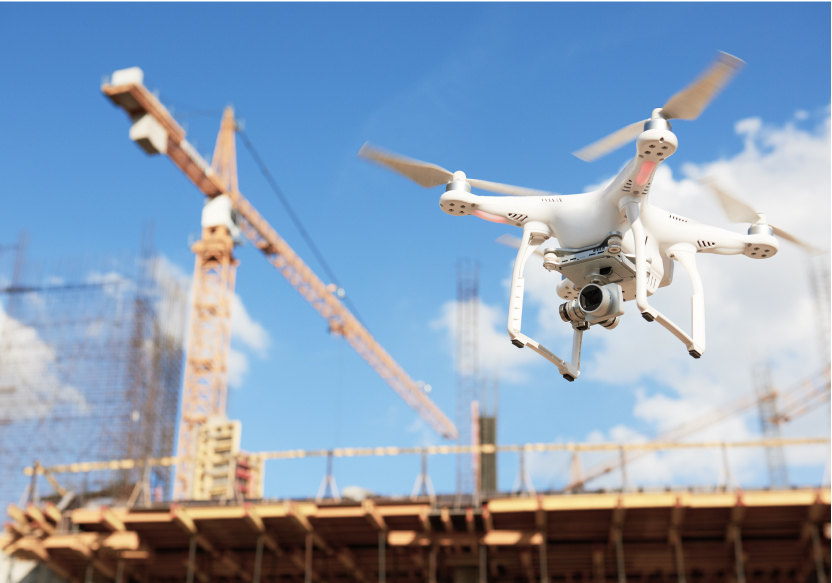
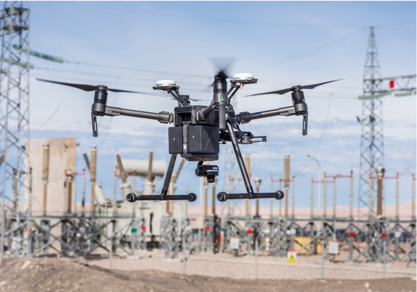
Autonomous data capture uses automated aerial and ground platforms and sensors to survey, inspect and monitor sites with little or no manual effort – collecting imagery, 3D and sensor data that is then processed into actionable insight.
Aerial and ground survey platforms, high-resolution and thermal cameras, LiDAR and photogrammetry, IoT sensors, and AI-based analysis that turns the captured data into maps, 3D models, measurements and alerts.
Site progress and volumes, asset and infrastructure condition, environmental and safety conditions, encroachments and changes over time, and detailed 3D models for inspection, planning and digital twins.
Construction and real estate, energy and utilities, oil and gas, mining, agriculture, and government – anywhere large or hazardous sites need frequent, accurate, hands-off monitoring.
Data is processed and delivered through dashboards, reports and 3D viewers, and can feed your existing systems or a digital twin – so insight, not raw footage, reaches the people who need it.
Would you like to learn more? Leave your contacts and we will share presentation with you.